
 |
| Finger Rock Trailhead in Tucson Ariz. Photo by: David McErlean |
Finger Rock Trail starts at 3,100 feet and peaks at 7,255 feet of elevation. The 4,155 elevation climb is covered in five miles of hiking, ending on the summit of Mt. Kimball. Because of the fast climb, this trail is rated with the highest level of difficulty by the Arizona Sierra Club.
 |
| Start to Finger Rock Trail Photo by: David McErlean |
Tucson receives an average of six inches of rain a year with the majority of rain during the monsoon season. Monsoon season stars at the beginning of June and goes through September, according to RSS Weather.
Moving past the lavish homes built deep in the hills, the trail moves further into the canyon. Every step on the trail moves you deeper into the wilderness and away from the congestion of the city.
 |
| Switchbacks up to Mt. Kimball Photo by: David McErlean |
This is a great place to stop and take in the sights. Looking to the northwest you can see the famous finger staring from the adjacent peak. To the east is Mt. Kimball. Walking towards Mt. Kimball a half mile, there is a resting place over looking all of Southern Arizona.
If you are going for the summit, it's two more miles of steady climbing to the east.
I took the road less traveled and went for the Finger. Taking the trail that splits north, descend into the canyon that stands between the two peaks. Once at the river bottom take the trail straight up and point towards Finger Rock.
The trail to the finger can be difficult to see if it has not been used in a while. Be on the look out for cairns, neatly staked rocks used to mark trails, leading the way.
Once reaching the base of the rock formation, there is a rock climb to the the top. Overlooking a straight drop to the base of the mountain hundreds of feet below, climb the 30 foot rock face to the top. You might have to psych yourself up to let yourself climb to the top. Once reaching the top, the view is unparalleled by any other view in Tucson.
Taking the rarely used trail to the finger is more difficult than hiking to the summit of Mt. Kimball, but way more rewarding.
Plan on the hike taking six to seven hours. It is only six and a half miles round trip, but it is a lot of steep climbing. This hike is best during the fall, winter and spring months when it is cooler. Make sure to bring plenty of water and good hiking boots. Hiking poles will save your knees on the trek down from the summit.
For a more challenging hike to the top of Finger Rock, take the river to the top. The river path takes you up one waterfall after another. Make sure to bring rope incase you have to turn around and repel back down the waterfalls.
Directions to the trailhead from central tucson: Take N. Campball Ave. north towards La Encantada. Turn right on E. Skyline Dr. Stay on Skyline by making your first left. Then left on N. Alvernon Way, there are signs for Finger Rock Trail. The parking lot is on the left at the end of Alvernon. Map
If you are going for the summit, it's two more miles of steady climbing to the east.
I took the road less traveled and went for the Finger. Taking the trail that splits north, descend into the canyon that stands between the two peaks. Once at the river bottom take the trail straight up and point towards Finger Rock.
The trail to the finger can be difficult to see if it has not been used in a while. Be on the look out for cairns, neatly staked rocks used to mark trails, leading the way.
Once reaching the base of the rock formation, there is a rock climb to the the top. Overlooking a straight drop to the base of the mountain hundreds of feet below, climb the 30 foot rock face to the top. You might have to psych yourself up to let yourself climb to the top. Once reaching the top, the view is unparalleled by any other view in Tucson.
Taking the rarely used trail to the finger is more difficult than hiking to the summit of Mt. Kimball, but way more rewarding.
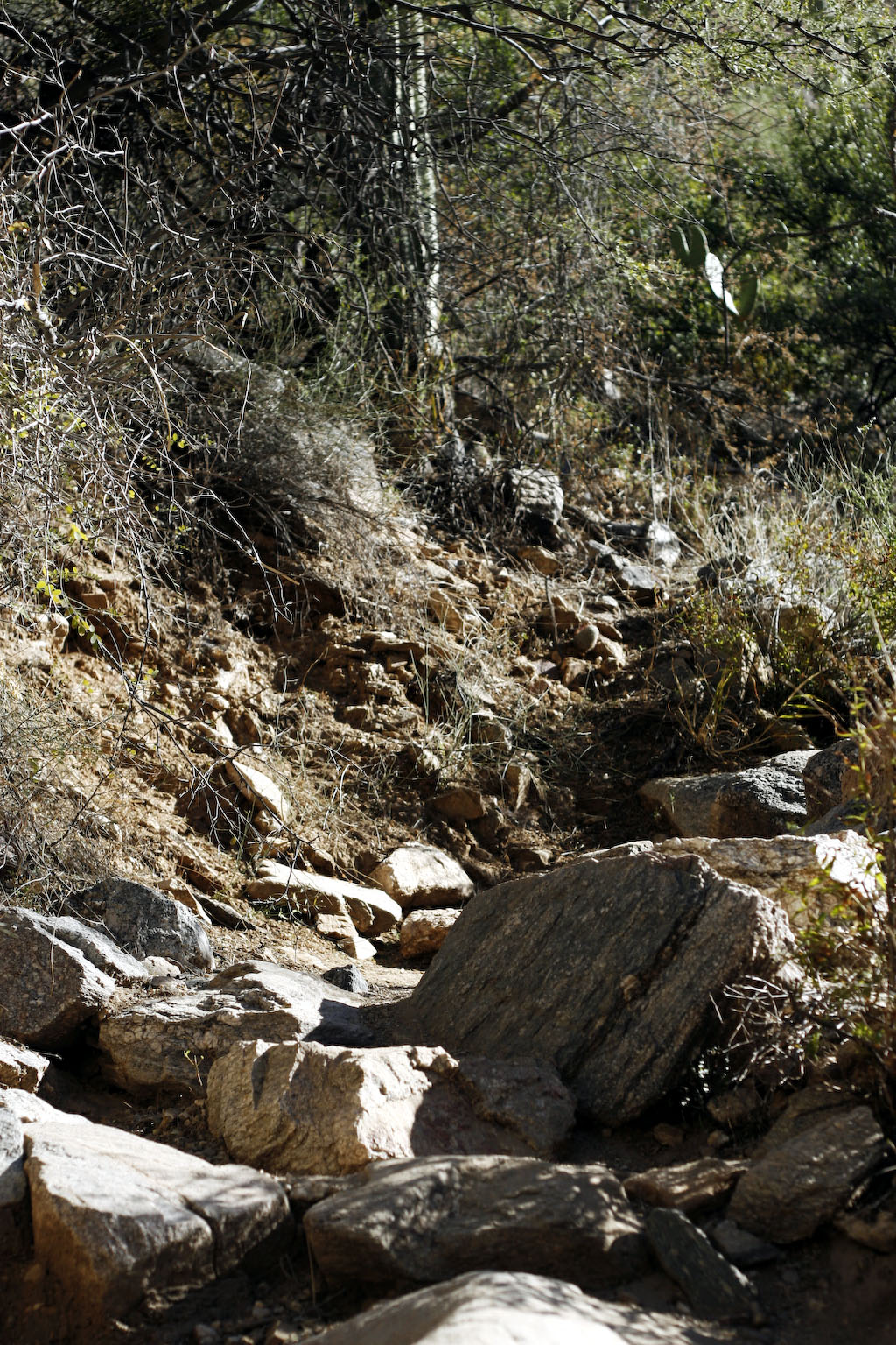
 |
| Finger Rock Trail Photo by: David McErlean |
For a more challenging hike to the top of Finger Rock, take the river to the top. The river path takes you up one waterfall after another. Make sure to bring rope incase you have to turn around and repel back down the waterfalls.
Directions to the trailhead from central tucson: Take N. Campball Ave. north towards La Encantada. Turn right on E. Skyline Dr. Stay on Skyline by making your first left. Then left on N. Alvernon Way, there are signs for Finger Rock Trail. The parking lot is on the left at the end of Alvernon. Map
Sweet! I loved doing this hike! Don't forget to do Rincon Peak, Claire and I did that together and it was AWESOME!
ReplyDelete